CANAL AQUEDUCT
- Program
- Subject
- Location
- Lat/Long
- Grant Recipient
-
Historic Transportation Canals
-
Transportation
- 4 Hancock St, Minden, NY 13339, USA
- 42.930415, -74.621373
-
Friends of Fort Plain Incorporated
CANAL AQUEDUCT
Inscription
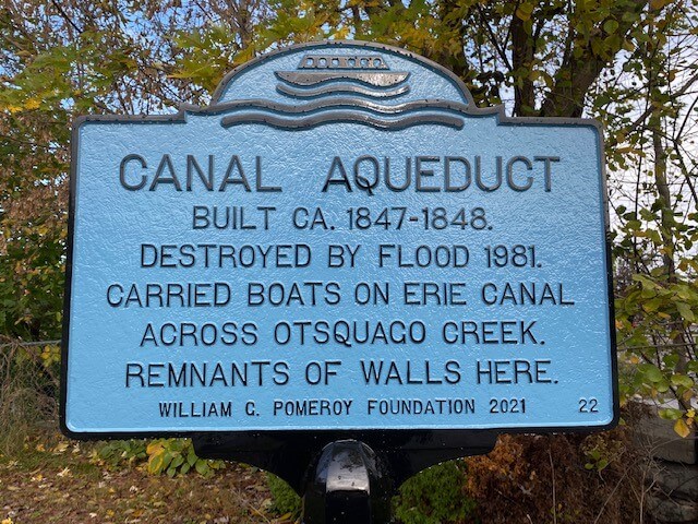
CANAL AQUEDUCTBUILT CA. 1847-1848.
DESTROYED BY FLOOD 1981.
CARRIED BOATS ON ERIE CANAL
ACROSS OTSQUAGO CREEK.
REMNANTS OF WALLS HERE.
WILLIAM G. POMEROY FOUNDATION 2021
Prior to 1817, the main mode of trade and travel in New York State was by land, which proved to be both time consuming and costly. The creation of the Erie Canal changed everything. With construction beginning in 1817, the Erie Canal took nearly a decade to build by its completion in 1825. The new canal spanned over 360 miles and effectively connected the interior of the U.S. around the Great Lakes back to the East Coast. It was an amazing feat of modern engineering for its time, with innovations such as locks and aqueducts which were used traverse the diverse geography of New York. Locks were useful in combating dramatic changes in elevation, whereas aqueducts allowed the canal to pass unimpeded over rivers or bodies of water that were otherwise unnavigable.
Crossing over the Otsquago Creek, the canal aqueduct in the Village of Fort Plain served such a purpose. The Fort Plain canal aqueduct was built circa 1847-1848, and was 126 feet long by 50 feet wide with five spans.
In October 1981 flooding caused the banks of the Otsquago Creek to overflow and a state of emergency was declared. The Fort Plain canal aqueduct was destroyed in the flood. As of 2021, limestone walls of the Erie Canal and remnants of the Fort Plain canal aqueduct were still visible.


